Derrydrummuck Townland
Introduction
The photograph on this page of Derrydrummuck Townland by Dean Molyneaux as part of the Geograph project.
The Geograph project started in 2005 with the aim of publishing, organising and preserving representative images for every square kilometre of Great Britain, Ireland and the Isle of Man.

There are currently over 7.5m images from over 14,400 individuals and you can help contribute to the project by visiting https://www.geograph.org.uk
Derrydrummuck Townland
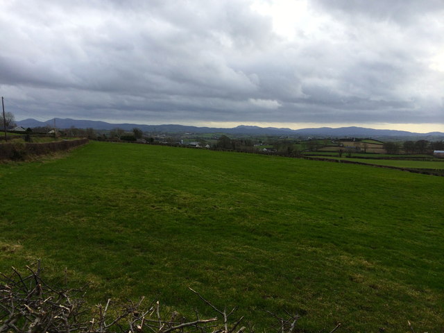
Image: © Dean Molyneaux Taken: 23 Feb 2014
Fields to the south of the junction of the Tower Road and the Mountainview Road, near Ballynaskeagh. The Mountains of Mourne can be clearly seen in the distance.
Images are licensed for reuse under creativecommons.org/licenses/by-sa/2.0
Image Location
Latitude
54.291087
Longitude
-6.246198