Bulwell NG6, Notts.
Introduction
The photograph on this page of Bulwell NG6, Notts. by David Hallam-Jones as part of the Geograph project.
The Geograph project started in 2005 with the aim of publishing, organising and preserving representative images for every square kilometre of Great Britain, Ireland and the Isle of Man.

There are currently over 7.5m images from over 14,400 individuals and you can help contribute to the project by visiting https://www.geograph.org.uk
Bulwell NG6, Notts.
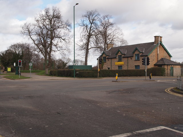
Image: © David Hallam-Jones Taken: 22 Feb 2014
The A6002 from the east (on the left) heading westwards towards the main junction with Hucknall Road. This is the view from Squires Avenue. "Chris Firth's Cottages", seen here occupying a corner of Bulwell Hall Park, were formerly known as "Stone Cottages". They were built (date?) to house estate workers and may still be housing a municipal toy library?
Images are licensed for reuse under creativecommons.org/licenses/by-sa/2.0
Image Location
Latitude
53.009605
Longitude
-1.199623