Flat landscape
Introduction
The photograph on this page of Flat landscape by Robin Webster as part of the Geograph project.
The Geograph project started in 2005 with the aim of publishing, organising and preserving representative images for every square kilometre of Great Britain, Ireland and the Isle of Man.

There are currently over 7.5m images from over 14,400 individuals and you can help contribute to the project by visiting https://www.geograph.org.uk
Flat landscape
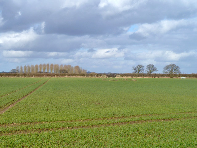
Image: © Robin Webster Taken: 22 Feb 2014
It is surprising to find such a flat area at substantial elevation - there is a trig point at 63 m in the next field. Part way across this field, in line with the far gates, are the ruins of some sort of small farm building, marked but not described on old maps.
Images are licensed for reuse under creativecommons.org/licenses/by-sa/2.0
Image Location
Latitude
51.878942
Longitude
-1.070364