Bulwark Road
Introduction
The photograph on this page of Bulwark Road by Ian Capper as part of the Geograph project.
The Geograph project started in 2005 with the aim of publishing, organising and preserving representative images for every square kilometre of Great Britain, Ireland and the Isle of Man.

There are currently over 7.5m images from over 14,400 individuals and you can help contribute to the project by visiting https://www.geograph.org.uk
Bulwark Road
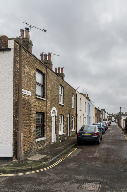
Image: © Ian Capper Taken: 25 Jan 2014
Terraced housing on a Street off Hengist Road running parallel to Sandown Road. These cottages are shown on the 1873 1:500 town plan as Bulwark Row; it would seem that is not until later that the street itself acquired its current name.
Images are licensed for reuse under creativecommons.org/licenses/by-sa/2.0
Image Location
Latitude
51.230885
Longitude
1.403537