Southerfell Farm
Introduction
The photograph on this page of Southerfell Farm by Oliver Dixon as part of the Geograph project.
The Geograph project started in 2005 with the aim of publishing, organising and preserving representative images for every square kilometre of Great Britain, Ireland and the Isle of Man.

There are currently over 7.5m images from over 14,400 individuals and you can help contribute to the project by visiting https://www.geograph.org.uk
Southerfell Farm
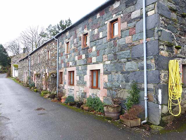
Image: © Oliver Dixon Taken: 22 Feb 2014
In contrast to the local stone, the window frames and lintels are picked out in red sandstone from the Eden valley. The date 1685 is engraved on one of the lintels. This house stands on the world-famous C2C cycle route (here designated National Cycle Network route 71).
Images are licensed for reuse under creativecommons.org/licenses/by-sa/2.0
Image Location
Latitude
54.642398
Longitude
-2.99397