Sandown Road
Introduction
The photograph on this page of Sandown Road by Ian Capper as part of the Geograph project.
The Geograph project started in 2005 with the aim of publishing, organising and preserving representative images for every square kilometre of Great Britain, Ireland and the Isle of Man.

There are currently over 7.5m images from over 14,400 individuals and you can help contribute to the project by visiting https://www.geograph.org.uk
Sandown Road
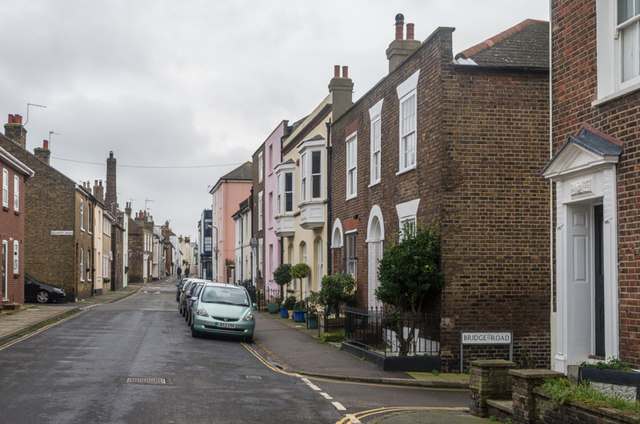
Image: © Ian Capper Taken: 25 Jan 2014
A north/south road running into Alfred Square and then Middle Street, seen in the background in this photo. In fact the 1872 1:2500 map names it as Middle Street too, it not being until the 1898 map that it is shown with its current name. The tall chimney is of a former bakehouse - see Image
Images are licensed for reuse under creativecommons.org/licenses/by-sa/2.0
Image Location
Latitude
51.229707
Longitude
1.403207