Hornbrook stream
Introduction
The photograph on this page of Hornbrook stream by Peter Cox as part of the Geograph project.
The Geograph project started in 2005 with the aim of publishing, organising and preserving representative images for every square kilometre of Great Britain, Ireland and the Isle of Man.

There are currently over 7.5m images from over 14,400 individuals and you can help contribute to the project by visiting https://www.geograph.org.uk
Hornbrook stream
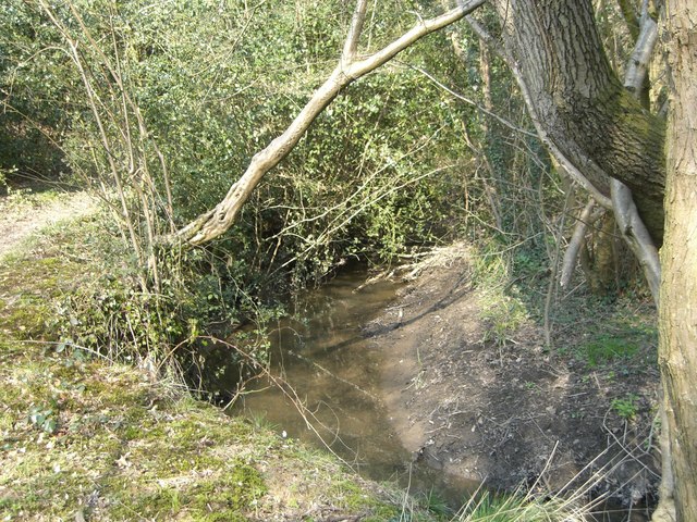
Image: © Peter Cox Taken: 31 Mar 2007
The Hornbrook runs down from St Leonards forest in a (for its size) deep gull to join the river Arun.
Images are licensed for reuse under creativecommons.org/licenses/by-sa/2.0
Image Location
Latitude
51.052726
Longitude
-0.31112