Beck Bottom
Introduction
The photograph on this page of Beck Bottom by Chris Heaton as part of the Geograph project.
The Geograph project started in 2005 with the aim of publishing, organising and preserving representative images for every square kilometre of Great Britain, Ireland and the Isle of Man.

There are currently over 7.5m images from over 14,400 individuals and you can help contribute to the project by visiting https://www.geograph.org.uk
Beck Bottom
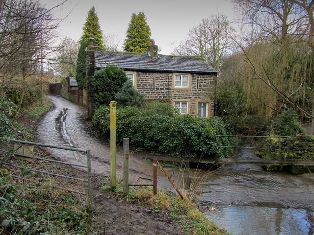
Image: © Chris Heaton Taken: 19 Feb 2014
The Leeds Country Way seen here on a grim day joining the cobbled track beside Carr Beck, to climb away onto the A657 between Greengates and Calverley
Images are licensed for reuse under creativecommons.org/licenses/by-sa/2.0
Image Location


Leaflet Map data © OpenStreetMap
Latitude
53.828005
Longitude
-1.705985