Ordnance Survey Cut Mark with Rivet
Introduction
The photograph on this page of Ordnance Survey Cut Mark with Rivet by Peter Wood as part of the Geograph project.
The Geograph project started in 2005 with the aim of publishing, organising and preserving representative images for every square kilometre of Great Britain, Ireland and the Isle of Man.

There are currently over 7.5m images from over 14,400 individuals and you can help contribute to the project by visiting https://www.geograph.org.uk
Ordnance Survey Cut Mark with Rivet
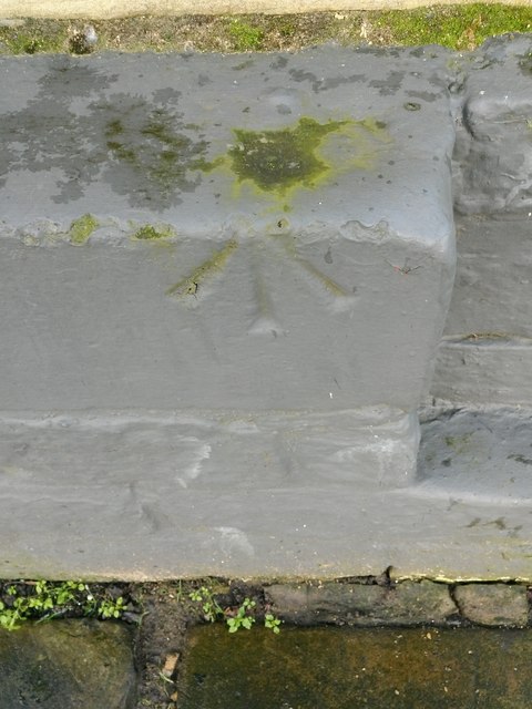
Image: © Peter Wood Taken: 21 Feb 2014
This can be found on the wall of the Victoria PH in Saltaire Road.
Images are licensed for reuse under creativecommons.org/licenses/by-sa/2.0
Image Location
Latitude
53.83605
Longitude
-1.786937