Haldon Lane
Introduction
The photograph on this page of Haldon Lane by David Smith as part of the Geograph project.
The Geograph project started in 2005 with the aim of publishing, organising and preserving representative images for every square kilometre of Great Britain, Ireland and the Isle of Man.

There are currently over 7.5m images from over 14,400 individuals and you can help contribute to the project by visiting https://www.geograph.org.uk
Haldon Lane
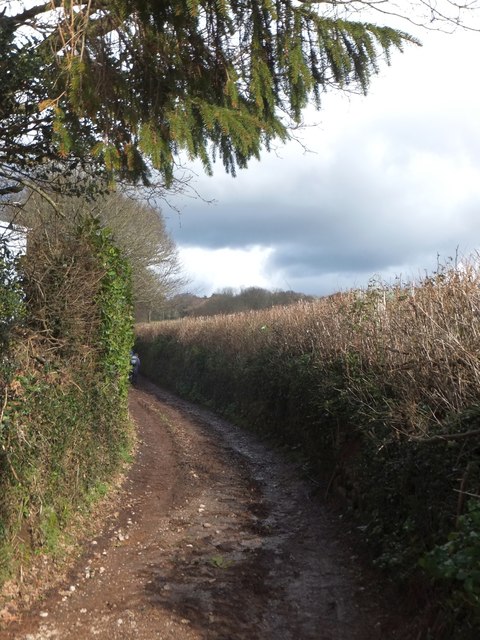
Image: © David Smith Taken: 18 Feb 2014
A track that leads up the slopes of the Haldon range, giving access to Ideford Common
Images are licensed for reuse under creativecommons.org/licenses/by-sa/2.0
Image Location
Latitude
50.587579
Longitude
-3.573753