Banc Maestir Mawr
Introduction
The photograph on this page of Banc Maestir Mawr by Alan Richards as part of the Geograph project.
The Geograph project started in 2005 with the aim of publishing, organising and preserving representative images for every square kilometre of Great Britain, Ireland and the Isle of Man.

There are currently over 7.5m images from over 14,400 individuals and you can help contribute to the project by visiting https://www.geograph.org.uk
Banc Maestir Mawr
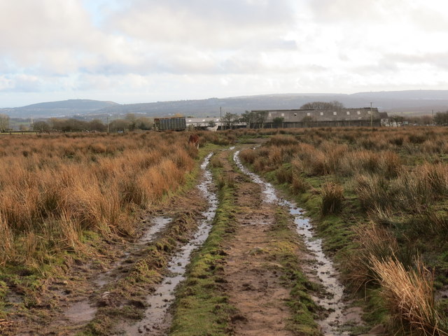
Image: © Alan Richards Taken: 18 Feb 2014
Trac yn agosau at Ffarm Cae Newydd o rostir a elwir Banc Maestir Mawr. A track approaching Cae Newydd Farm (trans. new field) from a moorland known as Banc Maestir Mawr (trans. open country).
Images are licensed for reuse under creativecommons.org/licenses/by-sa/2.0
Image Location
Latitude
51.723736
Longitude
-3.939397