Lawn district boundary sign, Swindon
Introduction
The photograph on this page of Lawn district boundary sign, Swindon by Jaggery as part of the Geograph project.
The Geograph project started in 2005 with the aim of publishing, organising and preserving representative images for every square kilometre of Great Britain, Ireland and the Isle of Man.

There are currently over 7.5m images from over 14,400 individuals and you can help contribute to the project by visiting https://www.geograph.org.uk
Lawn district boundary sign, Swindon
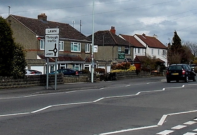
Image: © Jaggery Taken: 14 Apr 2013
Located alongside Marlborough Road opposite the Downs View Road junction.
Images are licensed for reuse under creativecommons.org/licenses/by-sa/2.0
Image Location
Latitude
51.543584
Longitude
-1.761446