Thurleston Lane at Thurleston Residential Home (looking towards Whitton)
Introduction
The photograph on this page of Thurleston Lane at Thurleston Residential Home (looking towards Whitton) by Hamish Griffin as part of the Geograph project.
The Geograph project started in 2005 with the aim of publishing, organising and preserving representative images for every square kilometre of Great Britain, Ireland and the Isle of Man.

There are currently over 7.5m images from over 14,400 individuals and you can help contribute to the project by visiting https://www.geograph.org.uk
Thurleston Lane at Thurleston Residential Home (looking towards Whitton)
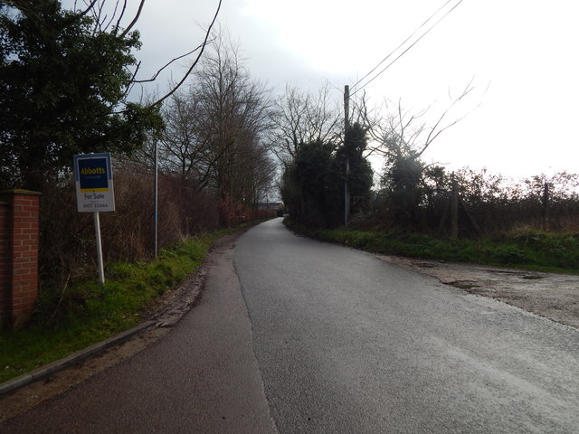
Image: © Hamish Griffin Taken: 18 Feb 2014
Thurleston Lane at Thurleston Residential Home looking towards Whitton. See http://www.geograph.org.uk/photo/3853441 for the other direction.
Images are licensed for reuse under creativecommons.org/licenses/by-sa/2.0
Image Location
Latitude
52.08871
Longitude
1.134842