Ruined Weir, Skelton Beck
Introduction
The photograph on this page of Ruined Weir, Skelton Beck by Mick Garratt as part of the Geograph project.
The Geograph project started in 2005 with the aim of publishing, organising and preserving representative images for every square kilometre of Great Britain, Ireland and the Isle of Man.

There are currently over 7.5m images from over 14,400 individuals and you can help contribute to the project by visiting https://www.geograph.org.uk
Ruined Weir, Skelton Beck
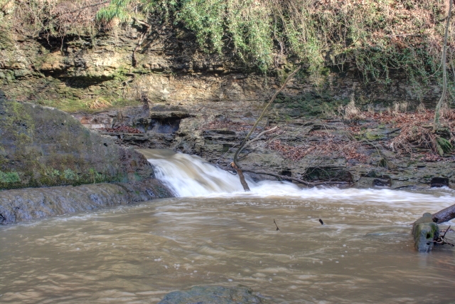
Image: © Mick Garratt Taken: 18 Feb 2014
Now breached but once supplied the power to drive Marske Mill.
Images are licensed for reuse under creativecommons.org/licenses/by-sa/2.0
Image Location
Latitude
54.572626
Longitude
-0.980128