Council houses on Ilkeston Road
Introduction
The photograph on this page of Council houses on Ilkeston Road by Alan Murray-Rust as part of the Geograph project.
The Geograph project started in 2005 with the aim of publishing, organising and preserving representative images for every square kilometre of Great Britain, Ireland and the Isle of Man.

There are currently over 7.5m images from over 14,400 individuals and you can help contribute to the project by visiting https://www.geograph.org.uk
Council houses on Ilkeston Road
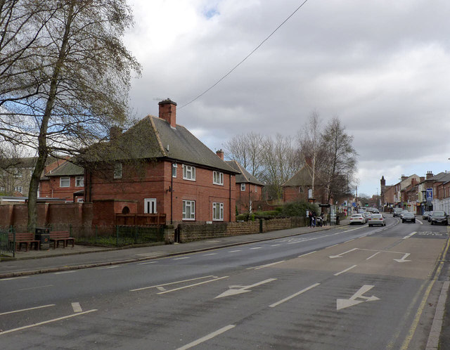
Image: © Alan Murray-Rust Taken: 16 Feb 2014
A small infill group of just 11 houses in the distinctive architectural style of Nottingham's council houses from the late 1930s. There is a bench mark http://www.geograph.org.uk/photo/3853172 on the side wall of the side gateway of the nearest house.
Images are licensed for reuse under creativecommons.org/licenses/by-sa/2.0
Image Location
Latitude
52.955457
Longitude
-1.181719