Industrial buildings on Warspite Road
Introduction
The photograph on this page of Industrial buildings on Warspite Road by Stephen Craven as part of the Geograph project.
The Geograph project started in 2005 with the aim of publishing, organising and preserving representative images for every square kilometre of Great Britain, Ireland and the Isle of Man.

There are currently over 7.5m images from over 14,400 individuals and you can help contribute to the project by visiting https://www.geograph.org.uk
Industrial buildings on Warspite Road
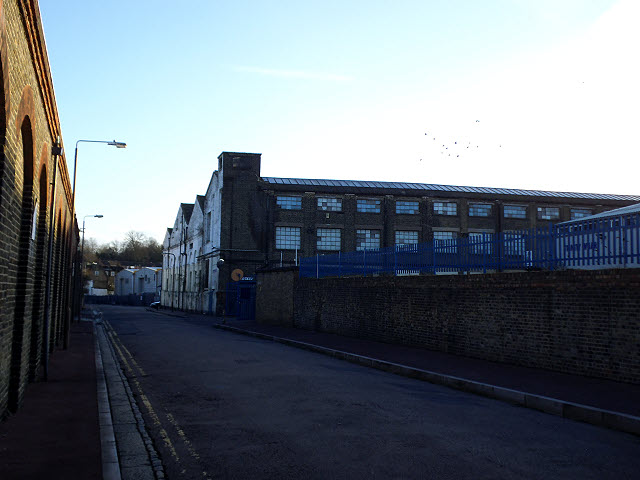
Image: © Stephen Craven Taken: 16 Feb 2014
High brick walls and 19th century factory buildings characterise this part of Charlton. The left hand side of the road in this view marks the western boundary of the Woolwich Dockyard at its fullest extent in the early 19th century.
Images are licensed for reuse under creativecommons.org/licenses/by-sa/2.0
Image Location
Latitude
51.494449
Longitude
0.044563