Grove Road green
Introduction
The photograph on this page of Grove Road green by Hugh Craddock as part of the Geograph project.
The Geograph project started in 2005 with the aim of publishing, organising and preserving representative images for every square kilometre of Great Britain, Ireland and the Isle of Man.

There are currently over 7.5m images from over 14,400 individuals and you can help contribute to the project by visiting https://www.geograph.org.uk
Grove Road green
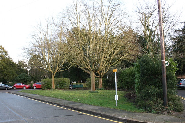
Image: © Hugh Craddock Taken: 18 Feb 2014
A triangular open space on Grove Road, just north of Image Grove Road formerly ran around the outside of this triangle: the cut-off in the foreground was not constructed until between the two World Wars, when the Image estate was being developed with housing. The hedge confirms that the open space was formerly part of the field sandwiched between Grove Road and Grove Lane (Grove Lane is now Image), rather than an outlier of the churchyard.
Images are licensed for reuse under creativecommons.org/licenses/by-sa/2.0
Image Location
Latitude
51.331813
Longitude
-0.258683