Middleton Boulevard, looking north from near Lime Tree Avenue
Introduction
The photograph on this page of Middleton Boulevard, looking north from near Lime Tree Avenue by Alan Murray-Rust as part of the Geograph project.
The Geograph project started in 2005 with the aim of publishing, organising and preserving representative images for every square kilometre of Great Britain, Ireland and the Isle of Man.

There are currently over 7.5m images from over 14,400 individuals and you can help contribute to the project by visiting https://www.geograph.org.uk
Middleton Boulevard, looking north from near Lime Tree Avenue
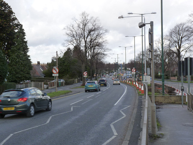
Image: © Alan Murray-Rust Taken: 16 Feb 2014
This was one of the earliest parts of the Nottingham ring road to be constructed, as part of the new housing estates created from the late 1920s in what had been the eastern part of Wollaton Park.
Images are licensed for reuse under creativecommons.org/licenses/by-sa/2.0
Image Location
Latitude
52.947879
Longitude
-1.19094