Flooded meadows near The Leigh
Introduction
The photograph on this page of Flooded meadows near The Leigh by Jonathan Billinger as part of the Geograph project.
The Geograph project started in 2005 with the aim of publishing, organising and preserving representative images for every square kilometre of Great Britain, Ireland and the Isle of Man.

There are currently over 7.5m images from over 14,400 individuals and you can help contribute to the project by visiting https://www.geograph.org.uk
Flooded meadows near The Leigh
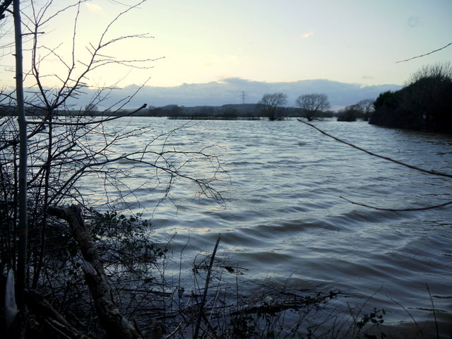
Image: © Jonathan Billinger Taken: 13 Feb 2014
With the wind whipping up waves on this large stretch of floodwater by the A38 next to Fieldview Caravan Park.
Images are licensed for reuse under creativecommons.org/licenses/by-sa/2.0
Image Location
Latitude
51.925256
Longitude
-2.189289