B4196 road near Astley, Worcs
Introduction
The photograph on this page of B4196 road near Astley, Worcs by P L Chadwick as part of the Geograph project.
The Geograph project started in 2005 with the aim of publishing, organising and preserving representative images for every square kilometre of Great Britain, Ireland and the Isle of Man.

There are currently over 7.5m images from over 14,400 individuals and you can help contribute to the project by visiting https://www.geograph.org.uk
B4196 road near Astley, Worcs
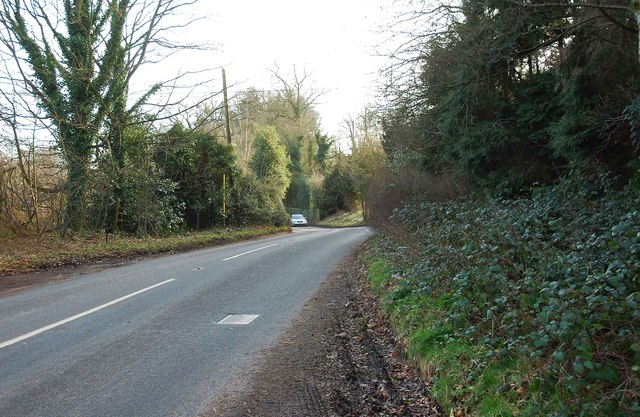
Image: © P L Chadwick Taken: 16 Feb 2014
In this direction this narrow winding road goes to Worcester, and offers an alternative route between Stourport-on-Severn and Worcester to the faster and probably safer A449 road, which is dual carriageway. The B4196 also serves several villages on its route.
Images are licensed for reuse under creativecommons.org/licenses/by-sa/2.0
Image Location
Latitude
52.308039
Longitude
-2.293442