Abandoned Barn
Introduction
The photograph on this page of Abandoned Barn by Mr Biz as part of the Geograph project.
The Geograph project started in 2005 with the aim of publishing, organising and preserving representative images for every square kilometre of Great Britain, Ireland and the Isle of Man.

There are currently over 7.5m images from over 14,400 individuals and you can help contribute to the project by visiting https://www.geograph.org.uk
Abandoned Barn
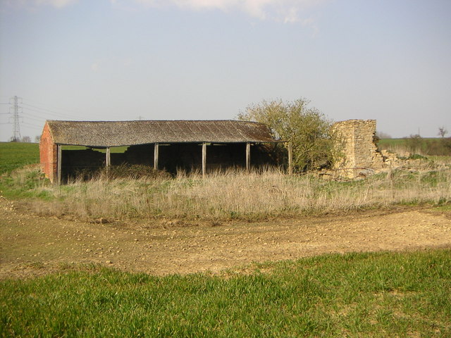
Image: © Mr Biz Taken: 1 Apr 2007
This disused barn was found along the Foscote - Leckhampstead public footpath. There also used to be the site of the mill in the vicinity according to my OS map from 1998, however there is no sign of it now sadly.
Images are licensed for reuse under creativecommons.org/licenses/by-sa/2.0
Image Location
Latitude
52.024522
Longitude
-0.944049