The Borle Brook
Introduction
The photograph on this page of The Borle Brook by Richard Law as part of the Geograph project.
The Geograph project started in 2005 with the aim of publishing, organising and preserving representative images for every square kilometre of Great Britain, Ireland and the Isle of Man.

There are currently over 7.5m images from over 14,400 individuals and you can help contribute to the project by visiting https://www.geograph.org.uk
The Borle Brook
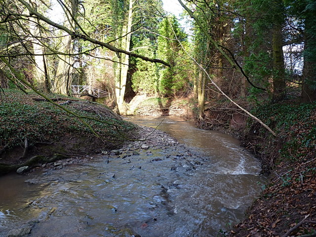
Image: © Richard Law Taken: 16 Feb 2014
The stream rises in the area of Meadowley and Upton Cressett to the northwest of here, then heads south and east beyond Billingsley to join the Severn just south of Highley, where the rather magnificent Image is found.
Images are licensed for reuse under creativecommons.org/licenses/by-sa/2.0
Image Location
Latitude
52.505621
Longitude
-2.467425