Down Mill bridge on Milfields Way
Introduction
The photograph on this page of Down Mill bridge on Milfields Way by Richard Law as part of the Geograph project.
The Geograph project started in 2005 with the aim of publishing, organising and preserving representative images for every square kilometre of Great Britain, Ireland and the Isle of Man.

There are currently over 7.5m images from over 14,400 individuals and you can help contribute to the project by visiting https://www.geograph.org.uk
Down Mill bridge on Milfields Way
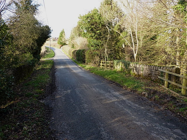
Image: © Richard Law Taken: 16 Feb 2014
The bridge carries the lane from The Down to Eudon George across the Borle Brook. There is (or more likely was) an OS benchmark on the end of the sunlit parapet wall nearest to the camera, but it's either obscured by ivy/the fence, or the wall has been rebuilt since the mark was originally cut.
Images are licensed for reuse under creativecommons.org/licenses/by-sa/2.0
Image Location
Latitude
52.50553
Longitude
-2.467866