Cranfield Airport with windsock and newly cut hedge
Introduction
The photograph on this page of Cranfield Airport with windsock and newly cut hedge by Bikeboy as part of the Geograph project.
The Geograph project started in 2005 with the aim of publishing, organising and preserving representative images for every square kilometre of Great Britain, Ireland and the Isle of Man.

There are currently over 7.5m images from over 14,400 individuals and you can help contribute to the project by visiting https://www.geograph.org.uk
Cranfield Airport with windsock and newly cut hedge
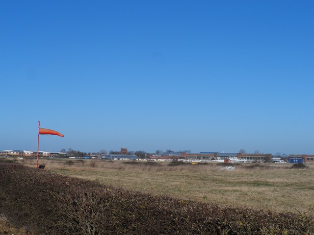
Image: © Bikeboy Taken: 16 Feb 2014
Cranfield Airport and RAF Cranfield are inextricably linked with Cranfield University. Cranfield University is a postgraduate-only institution with very strong links to the military establishment. See http://en.wikipedia.org/wiki/Cranfield_University for a detailed description.
Images are licensed for reuse under creativecommons.org/licenses/by-sa/2.0
Image Location
Latitude
52.064529
Longitude
-0.621589