Woburn Sands station and level crossing
Introduction
The photograph on this page of Woburn Sands station and level crossing by Bikeboy as part of the Geograph project.
The Geograph project started in 2005 with the aim of publishing, organising and preserving representative images for every square kilometre of Great Britain, Ireland and the Isle of Man.

There are currently over 7.5m images from over 14,400 individuals and you can help contribute to the project by visiting https://www.geograph.org.uk
Woburn Sands station and level crossing
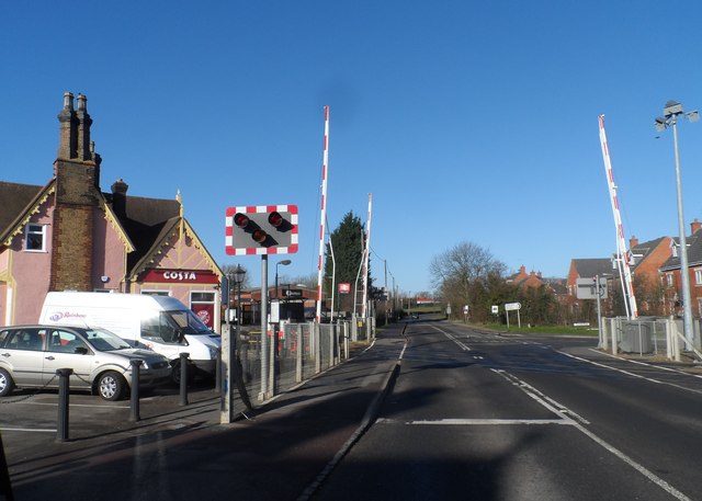
Image: © Bikeboy Taken: 16 Feb 2014
The Costa Coffee building on the left is the former Railway Station House. It was built in 1846. See http://www.britishlistedbuildings.co.uk/en-397745-railway-station-house-woburn-sands- for entry in British Listed Buildings
Images are licensed for reuse under creativecommons.org/licenses/by-sa/2.0
Image Location
Latitude
52.018063
Longitude
-0.654349