Woburn Sands village sign
Introduction
The photograph on this page of Woburn Sands village sign by Bikeboy as part of the Geograph project.
The Geograph project started in 2005 with the aim of publishing, organising and preserving representative images for every square kilometre of Great Britain, Ireland and the Isle of Man.

There are currently over 7.5m images from over 14,400 individuals and you can help contribute to the project by visiting https://www.geograph.org.uk
Woburn Sands village sign
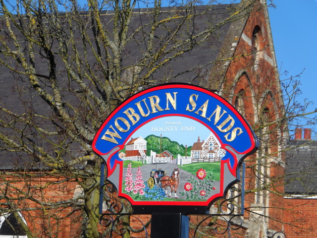
Image: © Bikeboy Taken: 16 Feb 2014
As the sign says, it was formerly known as "Hogsty End". Before it became a town in its own right, it was one of the four ends of Wavenden (the others being Church End, Cross End and Lower End).
Images are licensed for reuse under creativecommons.org/licenses/by-sa/2.0
Image Location
Latitude
52.011781
Longitude
-0.647543