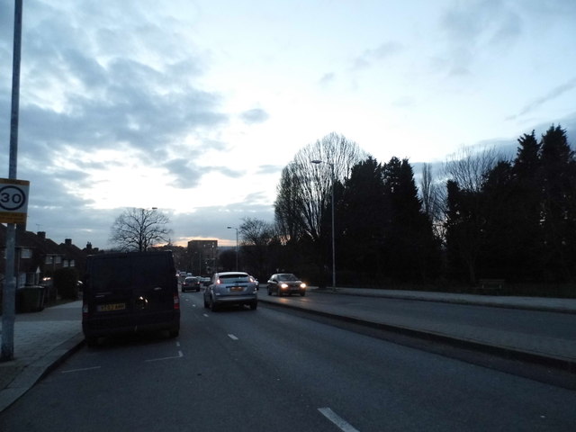
Whitefoot Lane, Southend
Introduction
The photograph on this page of Whitefoot Lane, Southend by David Howard as part of the Geograph project.
The Geograph project started in 2005 with the aim of publishing, organising and preserving representative images for every square kilometre of Great Britain, Ireland and the Isle of Man.
There are currently over 7.5m images from over 14,400 individuals and you can help contribute to the project by visiting https://www.geograph.org.uk

Image: © David Howard Taken: 16 Feb 2014
The 30 sign is circled by black as it isn't an official sign, they are only used entering a 30 road from another or where there are no street lights. Otherwise the default limit is always 30 unless signed otherwise. These are added by the council, something which has been done for many decades around the country, but in fact the humps make it impossible to even get close to 20 so the signs are pretty superfluous.

