Flooded field near Blantyre House
Introduction
The photograph on this page of Flooded field near Blantyre House by Robin Webster as part of the Geograph project.
The Geograph project started in 2005 with the aim of publishing, organising and preserving representative images for every square kilometre of Great Britain, Ireland and the Isle of Man.

There are currently over 7.5m images from over 14,400 individuals and you can help contribute to the project by visiting https://www.geograph.org.uk
Flooded field near Blantyre House
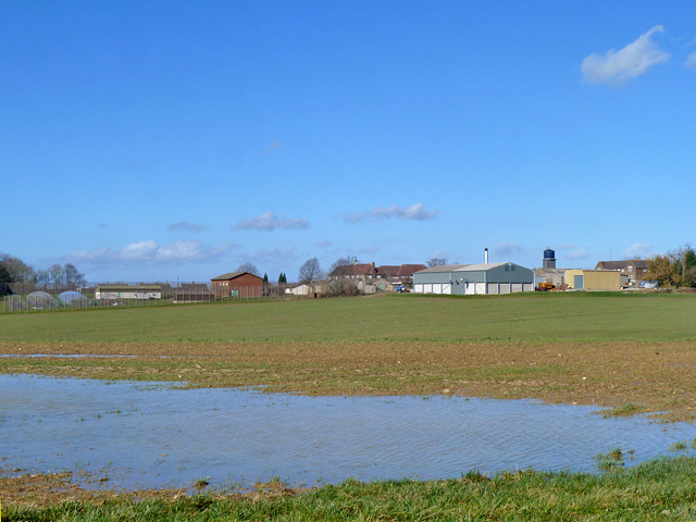
Image: © Robin Webster Taken: 16 Feb 2014
Blantyre House is an adult male category 'C/D' resettlement prison.
Images are licensed for reuse under creativecommons.org/licenses/by-sa/2.0
Image Location
Latitude
51.130943
Longitude
0.507009