Well Lane, Llanvair Discoed
Introduction
The photograph on this page of Well Lane, Llanvair Discoed by Jaggery as part of the Geograph project.
The Geograph project started in 2005 with the aim of publishing, organising and preserving representative images for every square kilometre of Great Britain, Ireland and the Isle of Man.

There are currently over 7.5m images from over 14,400 individuals and you can help contribute to the project by visiting https://www.geograph.org.uk
Well Lane, Llanvair Discoed
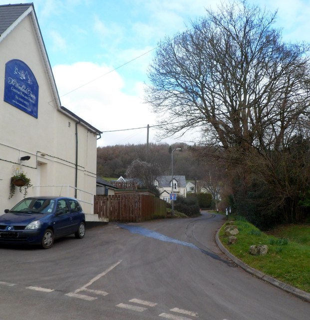
Image: © Jaggery Taken: 15 Feb 2012
Viewed past the edge of the Woodlands Tavern. http://www.geograph.org.uk/photo/3850181
Images are licensed for reuse under creativecommons.org/licenses/by-sa/2.0
Image Location
Latitude
51.628141
Longitude
-2.79915