Byway to Skyburriowe Farm
Introduction
The photograph on this page of Byway to Skyburriowe Farm by Jonathan Billinger as part of the Geograph project.
The Geograph project started in 2005 with the aim of publishing, organising and preserving representative images for every square kilometre of Great Britain, Ireland and the Isle of Man.

There are currently over 7.5m images from over 14,400 individuals and you can help contribute to the project by visiting https://www.geograph.org.uk
Byway to Skyburriowe Farm
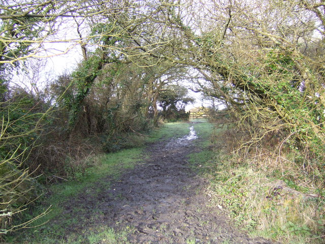
Image: © Jonathan Billinger Taken: 14 Mar 2007
This muddy track winds a country mile to reach Image and Image to the west.
Images are licensed for reuse under creativecommons.org/licenses/by-sa/2.0
Image Location
Latitude
50.056392
Longitude
-5.206623