Mudeford: beach hut gable among the debris
Introduction
The photograph on this page of Mudeford: beach hut gable among the debris by Chris Downer as part of the Geograph project.
The Geograph project started in 2005 with the aim of publishing, organising and preserving representative images for every square kilometre of Great Britain, Ireland and the Isle of Man.

There are currently over 7.5m images from over 14,400 individuals and you can help contribute to the project by visiting https://www.geograph.org.uk
Mudeford: beach hut gable among the debris
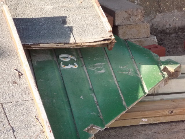
Image: © Chris Downer Taken: 16 Feb 2014
The south of England was hit by exceptionally high winds during the night of Friday 14 February and much damage was caused to the beaches of Dorset, particularly the destruction of many beach huts. Here, we see a pile of debris including the gable of beach hut 63: see Image for a view of the beach huts before Friday.
Images are licensed for reuse under creativecommons.org/licenses/by-sa/2.0
Image Location
Latitude
50.730373
Longitude
-1.733149