Red Hill, Redhill, NG5, Notts
Introduction
The photograph on this page of Red Hill, Redhill, NG5, Notts by David Hallam-Jones as part of the Geograph project.
The Geograph project started in 2005 with the aim of publishing, organising and preserving representative images for every square kilometre of Great Britain, Ireland and the Isle of Man.

There are currently over 7.5m images from over 14,400 individuals and you can help contribute to the project by visiting https://www.geograph.org.uk
Red Hill, Redhill, NG5, Notts
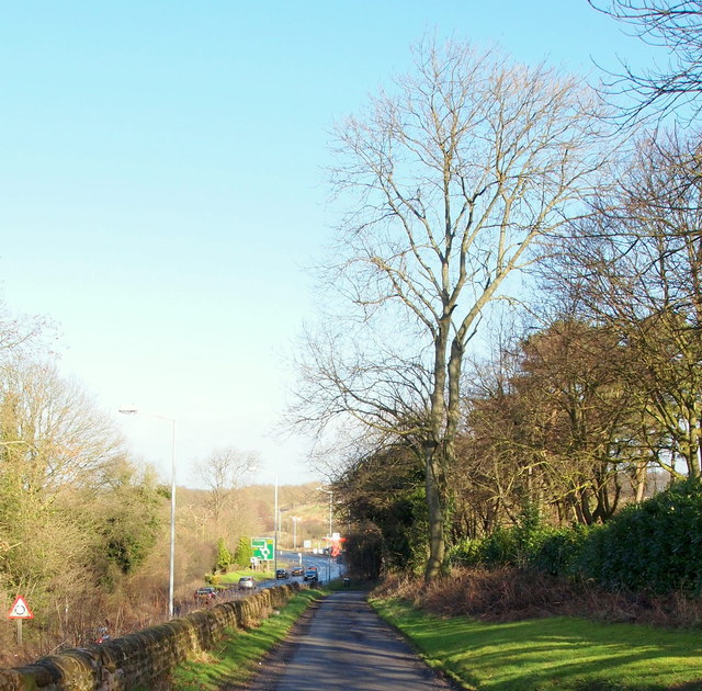
Image: © David Hallam-Jones Taken: 16 Feb 2014
One of the ascents/descents from the crown of the hill i.e. Red Hill, that comes off (and returns to) the A60. Ahead lies the unofficially-named Banyan Tree Roundabout (so called because of the existence of a restaurant of this name on one side of the roundabout. This convergence is where the A60 (the Nottingham-Mansfield Road) and the A614 (Ollerton Road) feed onto and off this roundabout. A road bridge behind the photographer's left shoulder carries traffic across a cutting through which the A60 was constructed and on the east side of the bridge the following can be found: the Leapool allotment site (provided by the Borough of Gedling); the Redhill covered reservoir (managed by the Severn Trent Company) and a third of the houses that form the hamlet of Red Hill.
Images are licensed for reuse under creativecommons.org/licenses/by-sa/2.0
Image Location
Latitude
53.019819
Longitude
-1.13071