Grid across the entrance to Caeglas, Hawthorn
Introduction
The photograph on this page of Grid across the entrance to Caeglas, Hawthorn by Jaggery as part of the Geograph project.
The Geograph project started in 2005 with the aim of publishing, organising and preserving representative images for every square kilometre of Great Britain, Ireland and the Isle of Man.

There are currently over 7.5m images from over 14,400 individuals and you can help contribute to the project by visiting https://www.geograph.org.uk
Grid across the entrance to Caeglas, Hawthorn
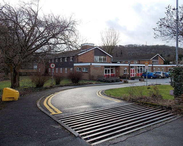
Image: © Jaggery Taken: 13 Feb 2014
The grid presumably survives from the agricultural era in the village. The arrangement seen here would not stop an ungulate because the grid does not extend across the pavement. Caeglas in Cardiff Road is a Rhondda Cynon Taf County Borough Council residential care home.
Images are licensed for reuse under creativecommons.org/licenses/by-sa/2.0
Image Location
Latitude
51.578675
Longitude
-3.302521