Pipe bridge over the Usk/Wysg
Introduction
The photograph on this page of Pipe bridge over the Usk/Wysg by Alan Bowring as part of the Geograph project.
The Geograph project started in 2005 with the aim of publishing, organising and preserving representative images for every square kilometre of Great Britain, Ireland and the Isle of Man.

There are currently over 7.5m images from over 14,400 individuals and you can help contribute to the project by visiting https://www.geograph.org.uk
Pipe bridge over the Usk/Wysg
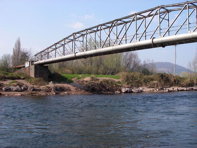
Image: © Alan Bowring Taken: 1 Apr 2007
This bridge spans the river south of Abergavenny/Y Fenni. It leads directly to a sewage works on the west/south bank. In the distance the wooded slopes of Deri can be seen - a spur of Sugar Loaf/Y Fal.
Images are licensed for reuse under creativecommons.org/licenses/by-sa/2.0
Image Location
Latitude
51.812949
Longitude
-3.015801