Footpath On The Flood Bank
Introduction
The photograph on this page of Footpath On The Flood Bank by James T M Towill as part of the Geograph project.
The Geograph project started in 2005 with the aim of publishing, organising and preserving representative images for every square kilometre of Great Britain, Ireland and the Isle of Man.

There are currently over 7.5m images from over 14,400 individuals and you can help contribute to the project by visiting https://www.geograph.org.uk
Footpath On The Flood Bank
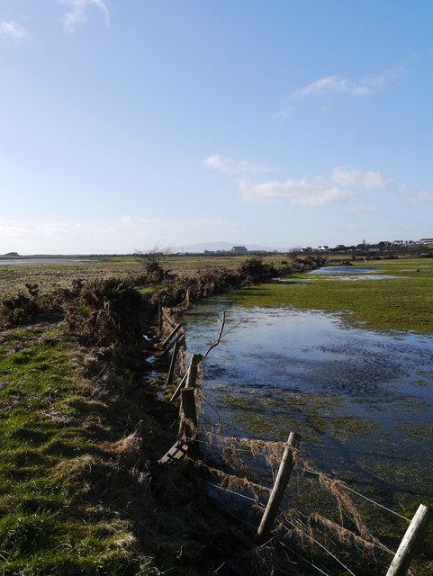
Image: © James T M Towill Taken: 11 Feb 2014
The flood bank at Annan Merse serves as a footpath to nearby Seafield. In the distance, Criffel near New Abbey can be noted.
Images are licensed for reuse under creativecommons.org/licenses/by-sa/2.0
Image Location
Latitude
54.973291
Longitude
-3.247876