Farmland on the lower slopes of Carn Marth
Introduction
The photograph on this page of Farmland on the lower slopes of Carn Marth by Graham Loveland as part of the Geograph project.
The Geograph project started in 2005 with the aim of publishing, organising and preserving representative images for every square kilometre of Great Britain, Ireland and the Isle of Man.

There are currently over 7.5m images from over 14,400 individuals and you can help contribute to the project by visiting https://www.geograph.org.uk
Farmland on the lower slopes of Carn Marth
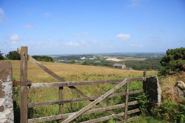
Image: © Graham Loveland Taken: 4 Jul 2013
Looking broadly north east, towards United Downs and the site of the former refuse tip. The white sheds in the distance, near the skyline, are on the United Downs industrial estate. The light coloured field is the site of the former tip, now being grassed over. The house slightly right of middle was once a barn.
Images are licensed for reuse under creativecommons.org/licenses/by-sa/2.0
Image Location
Latitude
50.22672
Longitude
-5.189154