Houses on Derby Road
Introduction
The photograph on this page of Houses on Derby Road by Alan Murray-Rust as part of the Geograph project.
The Geograph project started in 2005 with the aim of publishing, organising and preserving representative images for every square kilometre of Great Britain, Ireland and the Isle of Man.

There are currently over 7.5m images from over 14,400 individuals and you can help contribute to the project by visiting https://www.geograph.org.uk
Houses on Derby Road
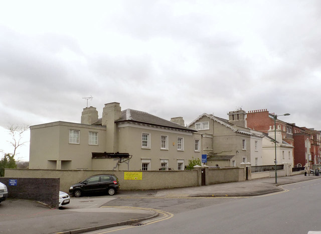
Image: © Alan Murray-Rust Taken: 9 Feb 2014
Early 19th century semi-detached houses just to the west of Canning Circus. The second and third pairs are both Listed Grade II, the latter now being a Spiritualist Church.
Images are licensed for reuse under creativecommons.org/licenses/by-sa/2.0
Image Location
Latitude
52.955151
Longitude
-1.163564