The Red Lion at Wombourne, Staffordshire
Introduction
The photograph on this page of The Red Lion at Wombourne, Staffordshire by Roger D Kidd as part of the Geograph project.
The Geograph project started in 2005 with the aim of publishing, organising and preserving representative images for every square kilometre of Great Britain, Ireland and the Isle of Man.

There are currently over 7.5m images from over 14,400 individuals and you can help contribute to the project by visiting https://www.geograph.org.uk
The Red Lion at Wombourne, Staffordshire
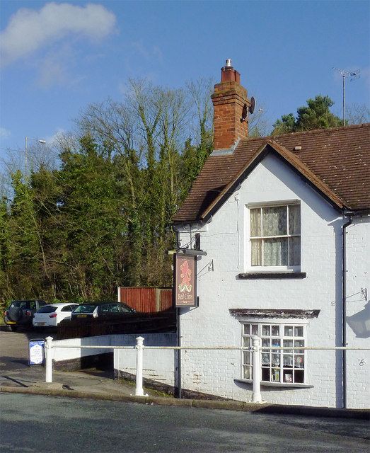
Image: © Roger D Kidd Taken: 11 Feb 2014
Very much sidelined since the A449 was diverted away (behind those trees) and widened, this public house in Battlefield Hill continues trading.
Images are licensed for reuse under creativecommons.org/licenses/by-sa/2.0
Image Location
Latitude
52.535808
Longitude
-2.178197