Wolverhampton Road East, Ettingshall Park
Introduction
The photograph on this page of Wolverhampton Road East, Ettingshall Park by Richard Vince as part of the Geograph project.
The Geograph project started in 2005 with the aim of publishing, organising and preserving representative images for every square kilometre of Great Britain, Ireland and the Isle of Man.

There are currently over 7.5m images from over 14,400 individuals and you can help contribute to the project by visiting https://www.geograph.org.uk
Wolverhampton Road East, Ettingshall Park
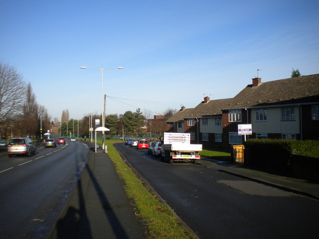
Image: © Richard Vince Taken: 29 Dec 2013
The service road on the right is accessible from Lawnswood Avenue at the north end and Dovedale Road at the south.
Images are licensed for reuse under creativecommons.org/licenses/by-sa/2.0
Image Location
Latitude
52.560874
Longitude
-2.118851