Bridleway towards Sutton-under-Whitestonecliffe
Introduction
The photograph on this page of Bridleway towards Sutton-under-Whitestonecliffe by Trevor Littlewood as part of the Geograph project.
The Geograph project started in 2005 with the aim of publishing, organising and preserving representative images for every square kilometre of Great Britain, Ireland and the Isle of Man.

There are currently over 7.5m images from over 14,400 individuals and you can help contribute to the project by visiting https://www.geograph.org.uk
Bridleway towards Sutton-under-Whitestonecliffe
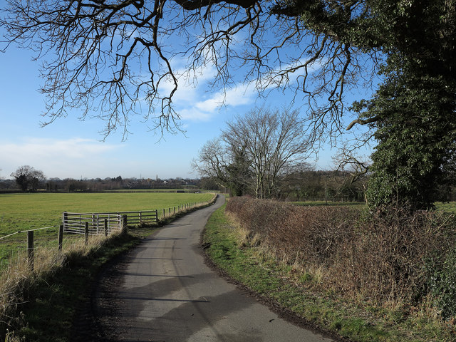
Image: © Trevor Littlewood Taken: 10 Feb 2014
Sutton-under-Whitestonecliffe is a village astride the A170 at the south-western corner of the North Yorks Moors national park. The bridleway connects the village with the buildings at Low Cleaves and, as can be seen, is a tarmacked road.
Images are licensed for reuse under creativecommons.org/licenses/by-sa/2.0
Image Location


Leaflet Map data © OpenStreetMap
Latitude
54.238378
Longitude
-1.24892