Bridge 30, Coventry Canal
Introduction
The photograph on this page of Bridge 30, Coventry Canal by David P Howard as part of the Geograph project.
The Geograph project started in 2005 with the aim of publishing, organising and preserving representative images for every square kilometre of Great Britain, Ireland and the Isle of Man.

There are currently over 7.5m images from over 14,400 individuals and you can help contribute to the project by visiting https://www.geograph.org.uk
Bridge 30, Coventry Canal
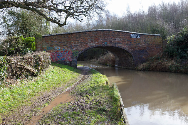
Image: © David P Howard Taken: 11 Feb 2014
Looking SSE towards bridge number 30. The tow path was very wet and muddy in a lot of places due to weeks of heavy rain.
Images are licensed for reuse under creativecommons.org/licenses/by-sa/2.0
Image Location
Latitude
52.550761
Longitude
-1.512246