Llwybr Maes yr Ellyn Path
Introduction
The photograph on this page of Llwybr Maes yr Ellyn Path by Alan Richards as part of the Geograph project.
The Geograph project started in 2005 with the aim of publishing, organising and preserving representative images for every square kilometre of Great Britain, Ireland and the Isle of Man.

There are currently over 7.5m images from over 14,400 individuals and you can help contribute to the project by visiting https://www.geograph.org.uk
Llwybr Maes yr Ellyn Path
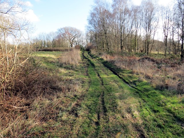
Image: © Alan Richards Taken: 11 Feb 2014
Llwybr sy'n cysylltu Heol Alltygraban â threflan Waungron. Â'r llwybr heibio yn agos i anhedd-dy Maes yr Ellyn. A public footpath linking Alltygraban Road (trans. Corn marigold) with the hamlet of Waun Gron (trans. round meadow). The path passes close to a property known as Maes yr Ellyn.
Images are licensed for reuse under creativecommons.org/licenses/by-sa/2.0
Image Location
Latitude
51.697076
Longitude
-4.037526