The Head Road descending eastwards in the direction of Colligan Bridge
Introduction
The photograph on this page of The Head Road descending eastwards in the direction of Colligan Bridge by Eric Jones as part of the Geograph project.
The Geograph project started in 2005 with the aim of publishing, organising and preserving representative images for every square kilometre of Great Britain, Ireland and the Isle of Man.

There are currently over 7.5m images from over 14,400 individuals and you can help contribute to the project by visiting https://www.geograph.org.uk
The Head Road descending eastwards in the direction of Colligan Bridge
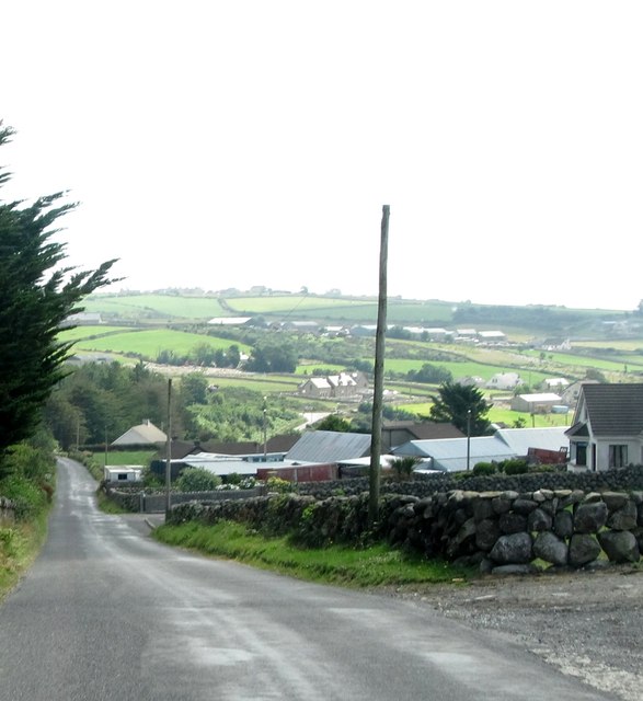
Image: © Eric Jones Taken: 26 Jul 2013
The woodland on the left is part of the forests of the Silent Valley Mountain Park.
Images are licensed for reuse under creativecommons.org/licenses/by-sa/2.0
Image Location
Latitude
54.11712
Longitude
-6.00303