Blue Boat Diglis basin.
Introduction
The photograph on this page of Blue Boat Diglis basin. by Chris Allen as part of the Geograph project.
The Geograph project started in 2005 with the aim of publishing, organising and preserving representative images for every square kilometre of Great Britain, Ireland and the Isle of Man.

There are currently over 7.5m images from over 14,400 individuals and you can help contribute to the project by visiting https://www.geograph.org.uk
Blue Boat Diglis basin.
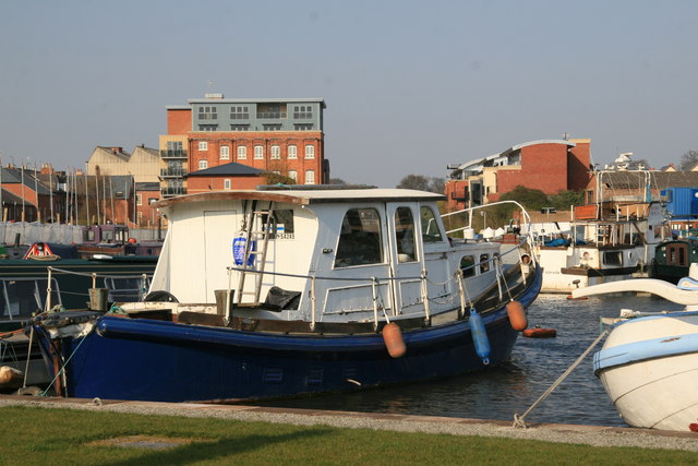
Image: © Chris Allen Taken: 1 Apr 2007
Looking up the line of the Birmingham & Worcester canal which goes between the converted flour mill on the left and the new apartments (with sloping curved roof-line) on the right. A bright and bustling Sunday afternoon.
Images are licensed for reuse under creativecommons.org/licenses/by-sa/2.0
Image Location
Latitude
52.182781
Longitude
-2.221389