Between Letchworth and Stotfold
Introduction
The photograph on this page of Between Letchworth and Stotfold by Jeff Tomlinson as part of the Geograph project.
The Geograph project started in 2005 with the aim of publishing, organising and preserving representative images for every square kilometre of Great Britain, Ireland and the Isle of Man.

There are currently over 7.5m images from over 14,400 individuals and you can help contribute to the project by visiting https://www.geograph.org.uk
Between Letchworth and Stotfold
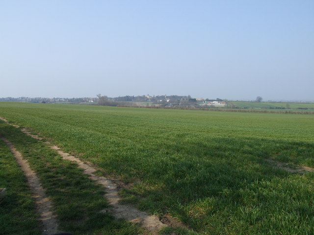
Image: © Jeff Tomlinson Taken: 31 Mar 2007
Looking towards Pix Brook, the Pig Development Unit and the ex Fairfield Hospital (now a housing estate)
Images are licensed for reuse under creativecommons.org/licenses/by-sa/2.0
Image Location
Latitude
52.003665
Longitude
-0.237682