Tererhyngyll Village
Introduction
The photograph on this page of Tererhyngyll Village by Guy Butler-Madden as part of the Geograph project.
The Geograph project started in 2005 with the aim of publishing, organising and preserving representative images for every square kilometre of Great Britain, Ireland and the Isle of Man.

There are currently over 7.5m images from over 14,400 individuals and you can help contribute to the project by visiting https://www.geograph.org.uk
Tererhyngyll Village
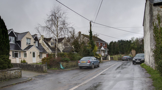
Image: © Guy Butler-Madden Taken: 10 Feb 2014
The village still retains its very rural farming way of life in spite of the modern housing.
Images are licensed for reuse under creativecommons.org/licenses/by-sa/2.0
Image Location
Latitude
51.481109
Longitude
-3.433813