A40 distances from Abergavenny
Introduction
The photograph on this page of A40 distances from Abergavenny by Jaggery as part of the Geograph project.
The Geograph project started in 2005 with the aim of publishing, organising and preserving representative images for every square kilometre of Great Britain, Ireland and the Isle of Man.

There are currently over 7.5m images from over 14,400 individuals and you can help contribute to the project by visiting https://www.geograph.org.uk
A40 distances from Abergavenny
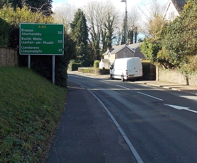
Image: © Jaggery Taken: 7 Feb 2014
Viewed along the A40 Brecon Road in the west of Abergavenny, near the Belgrave Road junction. It's 20 (miles) to Brecon, 33 to Builth Wells and 41 to Llandovery.
Images are licensed for reuse under creativecommons.org/licenses/by-sa/2.0
Image Location
Latitude
51.8254
Longitude
-3.031462