Caer Rhun Hall courtyard
Introduction
The photograph on this page of Caer Rhun Hall courtyard by Jonathan Wilkins as part of the Geograph project.
The Geograph project started in 2005 with the aim of publishing, organising and preserving representative images for every square kilometre of Great Britain, Ireland and the Isle of Man.

There are currently over 7.5m images from over 14,400 individuals and you can help contribute to the project by visiting https://www.geograph.org.uk
Caer Rhun Hall courtyard
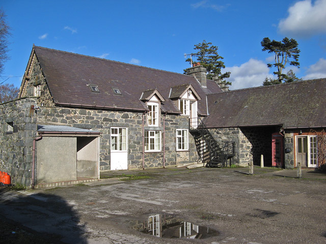
Image: © Jonathan Wilkins Taken: 7 Feb 2014
Functional parts of the hall complex were built in a dark igneous rock, matching the farm across the road (Image). It is a very unusual stone that does not look local, but neither do I know its source.
Images are licensed for reuse under creativecommons.org/licenses/by-sa/2.0
Image Location
Latitude
53.217894
Longitude
-3.83834