Port Sunlight, near Bebington Road
Introduction
The photograph on this page of Port Sunlight, near Bebington Road by Paul Harrop as part of the Geograph project.
The Geograph project started in 2005 with the aim of publishing, organising and preserving representative images for every square kilometre of Great Britain, Ireland and the Isle of Man.

There are currently over 7.5m images from over 14,400 individuals and you can help contribute to the project by visiting https://www.geograph.org.uk
Port Sunlight, near Bebington Road
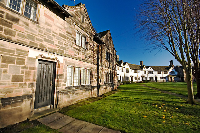
Image: © Paul Harrop Taken: 7 Feb 2014
These houses, dating from 1933 if the inscription above the door is to be believed, face on to Greendale Road, with Brook Street behind them.
Images are licensed for reuse under creativecommons.org/licenses/by-sa/2.0
Image Location
Latitude
53.357218
Longitude
-3.001821