Harts Barn main house, Longhope
Introduction
The photograph on this page of Harts Barn main house, Longhope by Jaggery as part of the Geograph project.
The Geograph project started in 2005 with the aim of publishing, organising and preserving representative images for every square kilometre of Great Britain, Ireland and the Isle of Man.

There are currently over 7.5m images from over 14,400 individuals and you can help contribute to the project by visiting https://www.geograph.org.uk
Harts Barn main house, Longhope
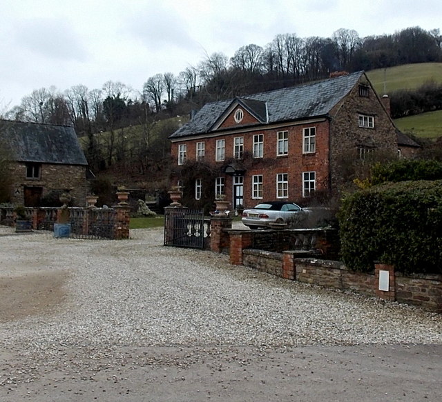
Image: © Jaggery Taken: 24 Feb 2013
The house has medieval origins. Its present-day appearance dates from the 18th century when it was faced with brick.
Images are licensed for reuse under creativecommons.org/licenses/by-sa/2.0
Image Location


Leaflet Map data © OpenStreetMap
Latitude
51.863772
Longitude
-2.472067